|
Hodgkins 3½ Mile Marker |
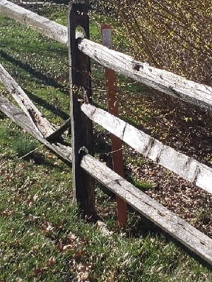
This monument is missing, but there is a nearby "Witness Post" indicating that a modern geodetic survey marker may be nearby.
Location
GPS: 39.76744° N, 75.74464° W
1892 Hodgkins Boundary Survey
The current Delaware boundary line was drawn in 1892 by William C. Hodgkins of the United States Coast and Geodetic Survey. Hodgkins and his Commissioners had been charged with resurveying the boundary line drawn in 1701 by Isaac Taylor and Thomas Pierson, however for various reasons they instead contrived a new boundary line that was shifted towards New Castle anywhere from 300 to 700 feet in the New Garden area. Several Delaware residents were inexplicably less than pleased to learn that they now resided in Pennsylvania, and the uproar prevented the ratification of this new line until 1921.
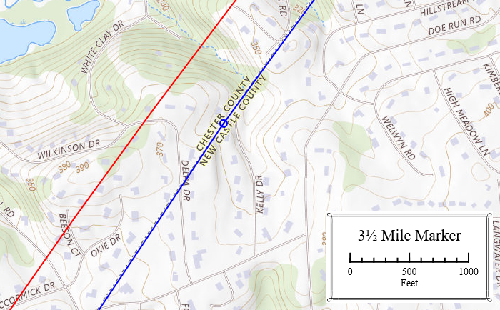
In this vicinity the new boundary (blue) was approximately 550 ft closer to New Castle than the 1701 line (red).
2024 Photo
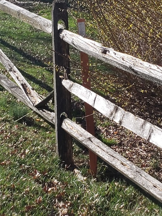
Orange Witness Post behind fence.