 |
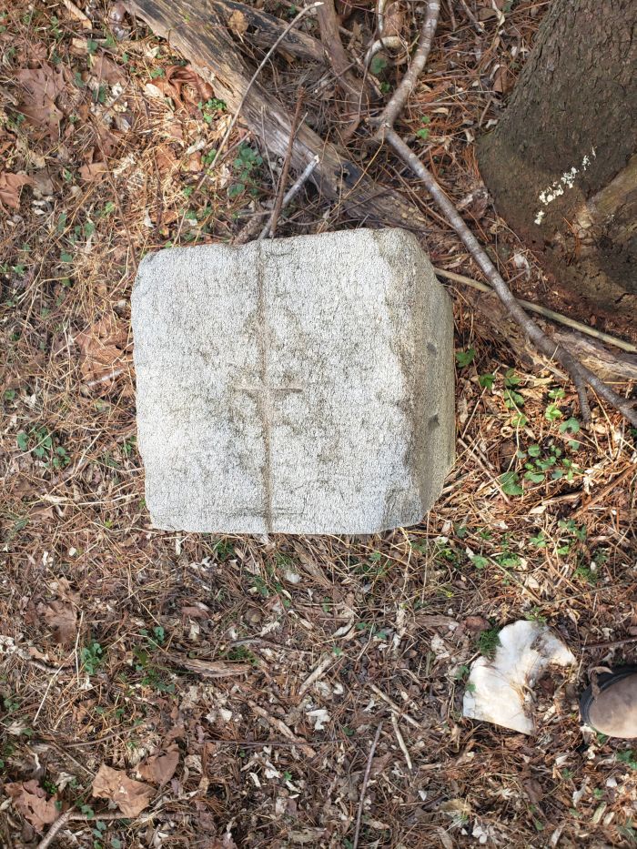
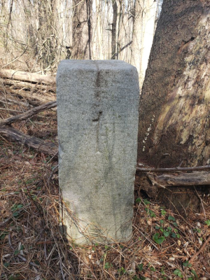
Hodgkins 1 Mile Marker |
Location
GPS: 39.73580° N, 75.76729° W
National Historic Register Status
This Bounday Marker has been listed on the National Register by Delaware
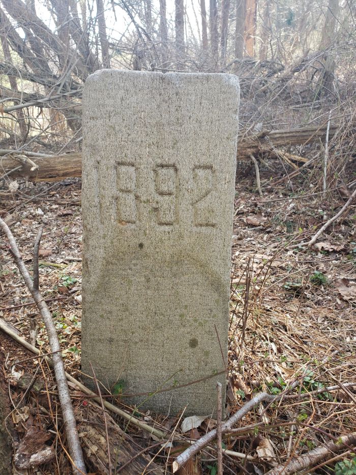
1892 Hodgkins Boundary Survey
The current Delaware boundary line was drawn in 1892 by William C. Hodgkins of the United States Coast and Geodetic Survey. Hodgkins and his Commissioners had been charged with resurveying the boundary line drawn in 1701 by Isaac Taylor and Thomas Pierson, however for various reasons they instead contrived a new boundary line that was shifted towards New Castle anywhere from 700 to 1200 feet in London Britain Township. Several Delaware residents were inexplicably less than pleased to learn that they now resided in Pennsylvania, and the uproar prevented the ratification of this new line until 1921.
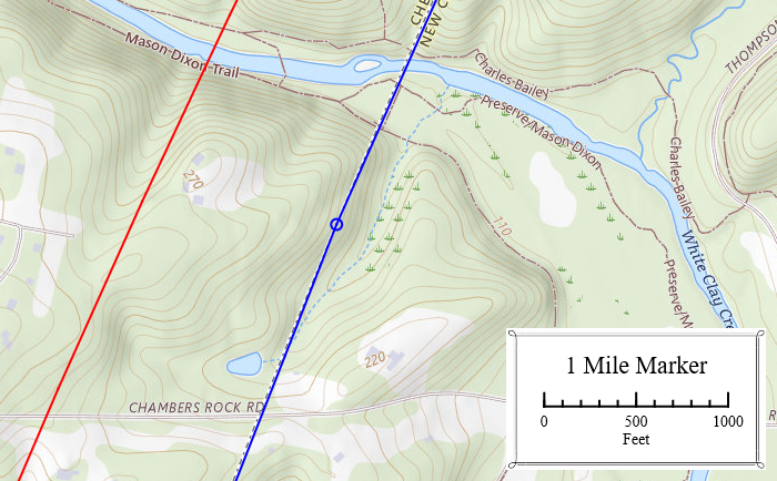
In this vicinity the new boundary (blue) was approximately 1000 ft closer to New Castle than the 1701 line (red).
1975 Listed on the National Register by Delaware
Delaware collectively placed all the Hodgkins boundary markers along with its Mason-Dixon markers on the National Register in 1975. The Nomination erroneously stated that the Hodgkins markers were 12 miles from the New Castle County Court House spire and, ignoring the 1892 inscriptions, that they were colonial.
2024 Photos
1
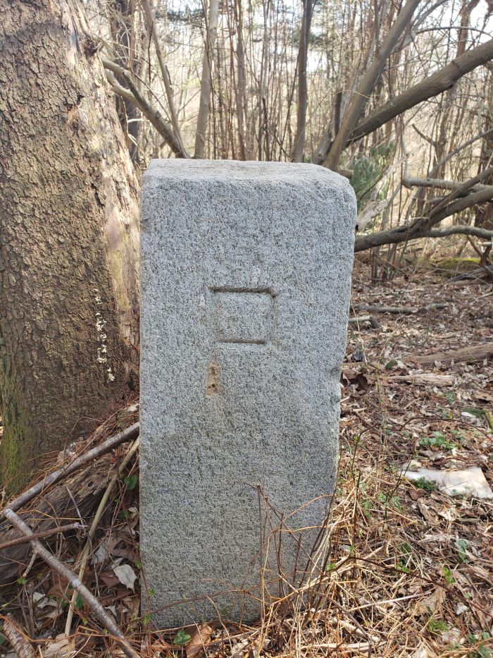
P
1892
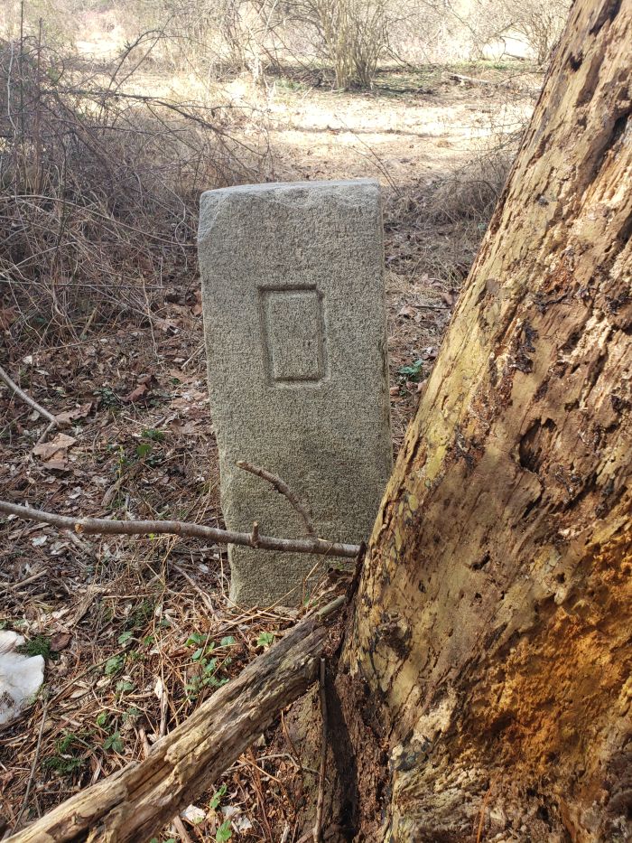
D
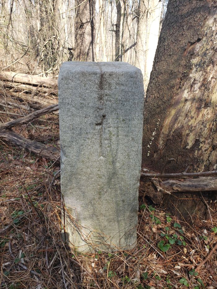
Vertical Line indicates direction of boundary.